Skip to content
milkypad

Your GIS agent

Your AI assistant
for GIS tasks.

Ask for satellite data, describe a geospatial analysis or explain the app you need. Milkypad brings these GIS tasks into a plain-language workflow, with the sources, methods and choices available for you to review.

Explore prepared conversations below, then request access for your own GIS task.

Your words

“Compare these fields in April and September.”

WhereYour fields
WhenApr → Sep
OutputComparison
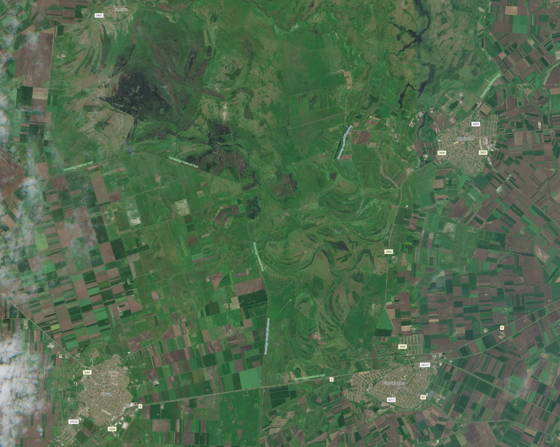
Sentinel-2 view of crop fields in Hungary, used as an illustrative backdropArea to compareSketch boundaries · illustrative

Review the data, method and cost
before the work begins.

Illustrative workflow with prepared examples.
AI assistant for GISExample conversations · interactive preview

You

I need optical data for these sites from April and June, with enough detail to compare the fields. Can I order just the data?

Milkypad

Yes, data delivery can be the whole task. We would start with your site boundaries, year, required detail and intended use, then check suitable archive observations for both periods.

You would review capture dates, usable coverage, total price, license and delivery terms before approving an order. If the archive does not meet the request, we would explain the gap and discuss alternatives. A future collection cannot recreate a past observation.

A data order shaped around your requirements

Receive the agreed files for use in your own tools where the license permits. Analysis and app creation are optional.

Illustrative request · no search or order running

You

Help me compare these sites over time and decide where a field visit could be useful.

Milkypad

We would first agree on the comparison dates and what counts as a useful change for your task. Then we would check suitable observations, usable coverage and a method that fits the question.

A comparison could bring together a map, a site table and the evidence behind each result. The interpretation would keep seasonal effects, missing observations and local context visible.

A comparison for your site review

Get the maps and site measurements you need without setting up GIS tools and scripts yourself. Review the proposed method and any costs first.

Illustrative plan · no work running

You

Turn my existing site results into an app with a map, a review list and a date filter.

Milkypad

The app could use the results already in your project. Selecting a site would connect the map to its review entry, with dates and evidence close at hand.

We would review the layout, controls and data connections in a preview. When your workflow changes, you could ask for a revised version. The saved app would remain usable in Studio while the assistant is idle.

A site review app without writing code

Use your existing analysis in a custom app, then ask for new filters or views when the task changes.

Illustrative app brief · no app created

Explore example GIS conversations and the steps behind each answer. This preview uses prepared responses; no live AI, connected project data or analysis runs here.

Help that carries out the work

Request data, an answer,
an analysis or an app.

Data delivery can be the complete outcome. Get help defining an acquisition request, reviewing suitable options and understanding an order—or continue into analysis and app creation.

Specify and acquire your data

Choose an area anywhere on Earth, a date range, spatial resolution and the bands or sensor you need. Get help comparing archive options or requesting a feasible future capture, with price, rights and delivery terms to review.

Explore data acquisition

Get the analysis done

Request a site comparison, measurement or custom investigation. The assistant helps prepare and run the work, then presents the map, chart or report with its supporting data.

Discover analysis

Build and change your own apps

Describe a dashboard, site review tool or reporting app. Ask for new filters, views and controls as your work changes, without implementing each revision yourself.

Discover App Builder

Continue from work you already have

Ask a follow-up.
Use your existing data.

Keep the sites, data and results from an analysis available for the next request. Ask the assistant to investigate a finding or build an app around it without explaining the project again from scratch.

Use a saved app directly to explore the results. Return to the assistant when you need a new analysis or want to change what the app does.

See the full workflow
AI assistantAsk · Investigate · Create
Your sourcesData & permissions
Your resultsMethods & evidence
Your appsSaved versions
StudioUse your app with the assistant idle

You steer the work

Control the task.
Understand the result.

The assistant handles technical steps while you set the purpose, review the scope and decide how to use the output.

  1. 01

    Set the outcome you need

    Explain what you want to acquire, know, measure or build. Clarify the area and data requirements, then review the proposed order, analysis or app.

  2. 02

    Keep cost and data use visible

    Review the scope, source permissions and any cost before paid work begins. Access to a dataset does not automatically permit every use of it.

  3. 03

    Check the result before acting

    Open the source data, dates and method behind a finding. See what was checked and what needs further investigation.

  4. 04

    Apply your knowledge of the task

    Bring field observations, operational records and domain experience to the interpretation. Use specialist review when the method or decision requires it.

Read our approach to evidence

Using the assistant

What to expect.

Do I need to know GIS or write code?

The assistant workflow starts with ordinary language, so you can describe a task without GIS or coding skills. Explain the data or result you need, then review the acquisition, analysis or app using your knowledge of the work. Specialist methods and consequential decisions still need appropriate review.

Can I just request data without an analysis or app?

Yes. Data acquisition can be a complete request on its own. Specify the area, dates, spatial detail and required bands or sensor. The workflow covers reviewing archive data or feasible future captures, approving an offer and receiving the agreed data. Contact us to discuss your request; availability and delivery terms depend on the source and specification.

Do I need a map or a dataset to ask a question?

You can start by describing what you want to find out. The assistant can help identify suitable data, and ask for a location, boundary or date range when the task needs one. You can also bring your own records and observations.

How does the assistant relate to App Builder?

App Builder uses the assistant to create or change an app around your data and results. Ask for a map, dashboard or review tool in the same way you ask for an analysis. Use the finished app in Studio through its own controls.

What happens if the evidence is incomplete?

The assistant should explain what is missing and suggest a useful next step: another observation, a different method or a field check. Results need to distinguish recorded measurements from interpretations.

What can I try on this website?

Explore prepared assistant conversations and interactive GIS examples, then request access for your own task. The examples explain the workflow; they do not connect to a live assistant, order data or run analysis on your files. We will confirm access and supported workflows when we review your enquiry.

Bring a task for your GIS agent

What data or GIS work do you need?

Tell us which observations you want to acquire, which analysis you need or which app you want to create. Request access around the work you want to do.

Share your request