A field monitoring app. A coastal review tool. A site comparison for your next report. Try the sample controls and see how satellite data and your own records could become an app you use without coding.
Your site review appInteractive preview · fictional data
A coastal team preparing a field visit
Which places need a closer look?
Schematic sites · background imagery is contextual
Usable observations in the sample period
Missing observations remain visible. A count of zero is not evidence of no change.
Count of synthetic usable observations · 0–5
Fictional site records for coastal review
Site
Usable observations
Review status
4
Review suggested
3
Review complete
0
Insufficient data
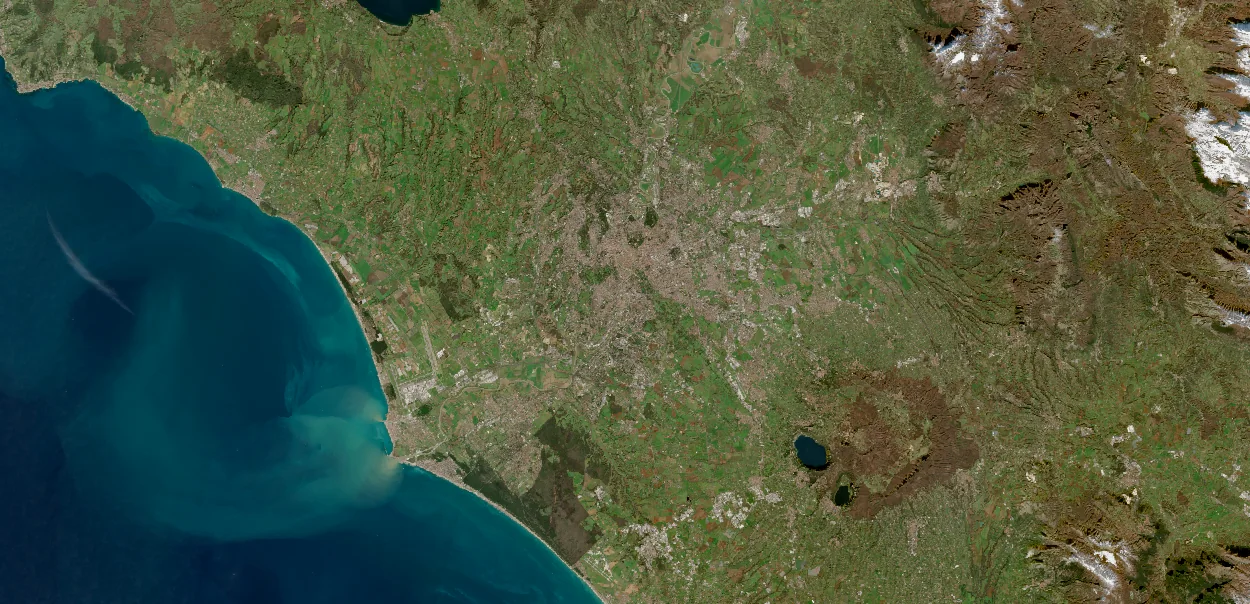
These names, review states and counts are invented to demonstrate the experience. This preview does not run an analysis or report conditions at the places in the photographs. Background: Rome and the Tyrrhenian coast, Italy. Image credits.
A land team organising its next monitoring round
Where should the next visit begin?
Schematic sites · background imagery is contextual
Usable observations in the sample period
Missing observations remain visible. A count of zero is not evidence of no change.
Count of synthetic usable observations · 0–5
Fictional site records for field monitoring
Site
Usable observations
Inspection status
3
Review suggested
5
Review complete
0
Insufficient data
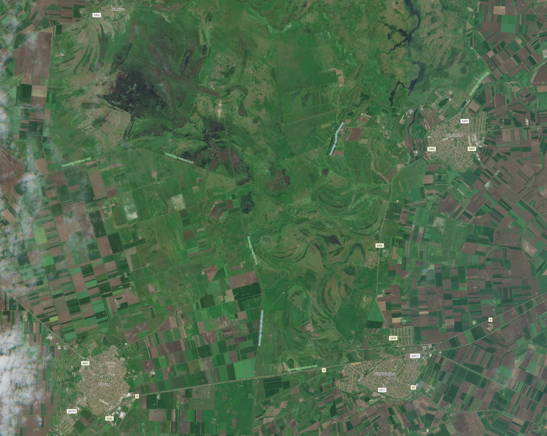
These names, review states and counts are invented to demonstrate the experience. This preview does not run an analysis or report conditions at the places in the photographs. Background: Grasslands and crop fields near Püspökladány, Hungary. Image credits.
A planning team organising evidence by site
What should our team investigate?
Schematic sites · background imagery is contextual
Usable observations in the sample period
Missing observations remain visible. A count of zero is not evidence of no change.
Count of synthetic usable observations · 0–5
Fictional site records for urban site review
Site
Usable observations
Review status
2
Review suggested
4
Review complete
0
Insufficient data
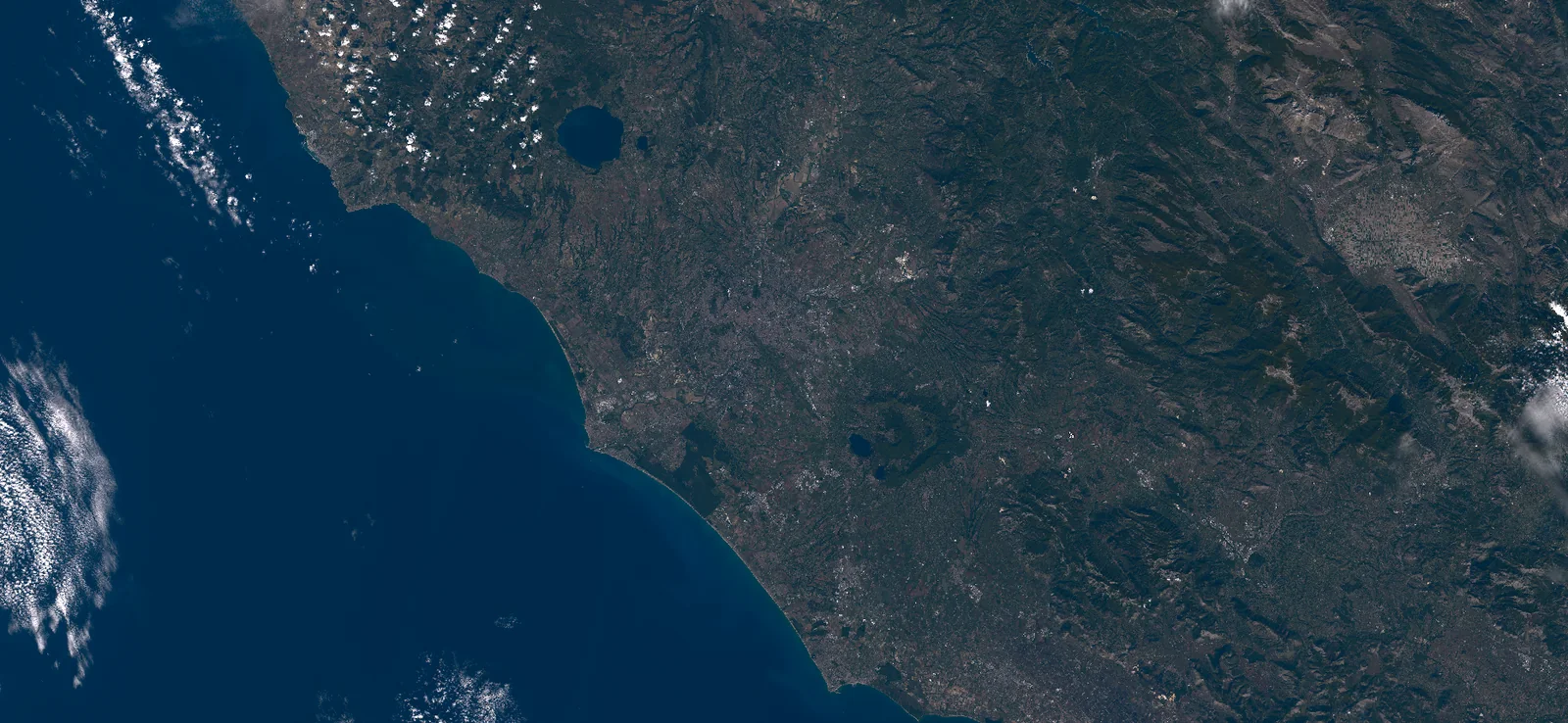
These names, review states and counts are invented to demonstrate the experience. This preview does not run an analysis or report conditions at the places in the photographs. Background: Rome, Italy. Image credits.
Try a task in the sample app
Review a site. Decide what to do next.
Choose a workflow above, then use its views to inspect a location and prepare a sample report.
01
Compare sites
Switch between a schematic map, observation counts and a site table. Select a location to see its status and the reason it needs review.
02
Plan a follow-up
Check the suggested next step for each fictional site. A flagged pattern may call for a visit; missing coverage may call for another observation.
03
Prepare a handover
Download the sample report to see how site records, review status and the supporting explanation can stay together for a colleague.
Build around your own work
Your sites, your analysis, your app.
Start with your own sites and questions: the satellite data to acquire, the geospatial analysis to run and the tool your team needs. Describe the task to an AI assistant, then shape the analysis and interface around the work. Request access to discuss your own workflow.
These interactive previews use fictional records and prepared content. The maps are schematic and no live satellite analysis is running.
With your permission, Google Analytics helps us understand page visits and count successful enquiries. We don’t send your form answers or use analytics for personalized advertising.