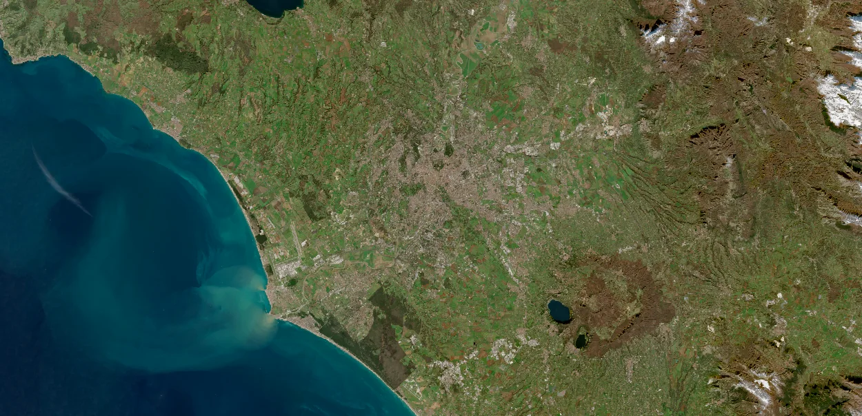
Location & area
Choose any point on Earth and define the area around it: a property, a corridor, several sites or a region. Specify the boundary and coverage you need.
Where should the data cover?Data acquisition with Milkypad
Start with any location on Earth. Specify the area, dates, resolution and measurements you need, from satellite imagery to spectral, thermal, radar and height data. Bring us a data acquisition request for your existing workflow, or explore how an AI assistant can help you analyze the data and build an app.
Discuss your data requirements with our team. Available products and collection options depend on location, specifications and provider coverage; submitting an enquiry does not place an order.
Explore an example request
Choose a sample area, observation window, level of detail and measurement. See how each choice changes the brief you would bring to a source and quote review.
Your acquisition brief
The grid illustrates requested detail. Colors and boundaries are drawn examples, not measured observations.
Coastal study area · April + June · 10 m requested · Optical
Area, dates, measurements and delivery needs.
Availability, full quote and license.
Ordering and delivery under the agreed terms.
Illustrative controls only. No live search, source availability, analysis or order is running. Grid spacing is schematic; sensor and resolution combinations need a suitability check.
Specify the data you need
Order by the dimensions that matter to your work. If you know the specification, bring it. If you know the task, the assistant can help turn it into a data request you can review.
Choose any point on Earth and define the area around it: a property, a corridor, several sites or a region. Specify the boundary and coverage you need.
Where should the data cover?Request a historical date range, a recent observation or a future collection window. Set the repeat frequency if you need a series, and distinguish capture dates from delivery deadlines.
When, and how often?Describe the smallest feature you need to see or measure. Specify spatial resolution and location accuracy where you know them, or get help translating the task into requirements.
What needs to be distinguishable?Choose optical, radar, thermal or spectral data according to what you need to observe. Define the bands, wavelengths and processing level needed for your work.
Which measurements do you need?Request terrain, surface-height or 3D information where relevant. Define whether you need the ground or features above it, together with vertical detail and accuracy.
Does height change the task?Define usable coverage, cloud limits and required measurement quality. Include sensitivity, calibration or viewing angle where relevant, plus the format, budget and intended use.
What makes the order usable?“I need data for these sites from last spring and a new observation this season. Help me choose the resolution, compare optical and radar options, and check whether I can use the files in a client report.”
From a quote to data you can use
Your order should make the product, price, permitted uses and delivery conditions understandable. Getting the data can be the complete task; analysis and app building are optional next steps.
See the selected product, requested and billable area, minimum order, imagery and preparation costs, applicable fees and taxes, and quote validity before authorizing an order.
Product specification · complete price · license · delivery estimateTrack the order and its delivery status. For a new collection, review the collection window, acceptance conditions and the options in the order terms if delivery is partial or unsuitable.
Order status · collection conditions · delivered coverageReceive the data with its observation dates, source details and license. Keep it in your Milkypad project or export it for use in your own tools where the product license permits.
Your project · permitted downloads · optional analysis and appsDefine your download, reporting and sharing needs before purchase. Check the license for the intended users and export format so the data can serve your own workflow.
Explore what you can request
Optical
See land cover, water, vegetation and the shape of a changing landscape. Measurements beyond visible light can reveal patterns that a natural-color image does not show.
Radar
Radar measures the response to a transmitted signal. It can complement optical observations when cloud interrupts a series, and support specialized work on water, surface structure and movement.
Thermal
Thermal observations help explore how surface temperature varies across places and observation times, with land cover and weather providing essential context.
Hyperspectral
Closely spaced spectral measurements can help specialists investigate exposed materials and biochemical signals when the observations, corrections and reference evidence are suitable.
Elevation
Terrain and surface models add height, slope and landform context. The appropriate model depends on whether you need the ground itself or the objects above it.
Your data
Site boundaries, field notes, asset registers and local measurements connect Earth observations to your work. Your own identifiers should follow the result into a report or an app.
A guide to data types and your own project inputs. Available products, licenses and collection options are confirmed against each request.
Data for your own workflow
Use the permitted files in your existing workflow, keep them in a Milkypad project or combine them with your own boundaries and records. If you need analysis or a custom app, continue with the same sources.
Bring your acquisition requirements
Tell us the location, area, dates, required detail and type of measurement. Include your delivery and usage needs, whether you want the data alone or plan to analyze it in Milkypad.
Discuss a data request