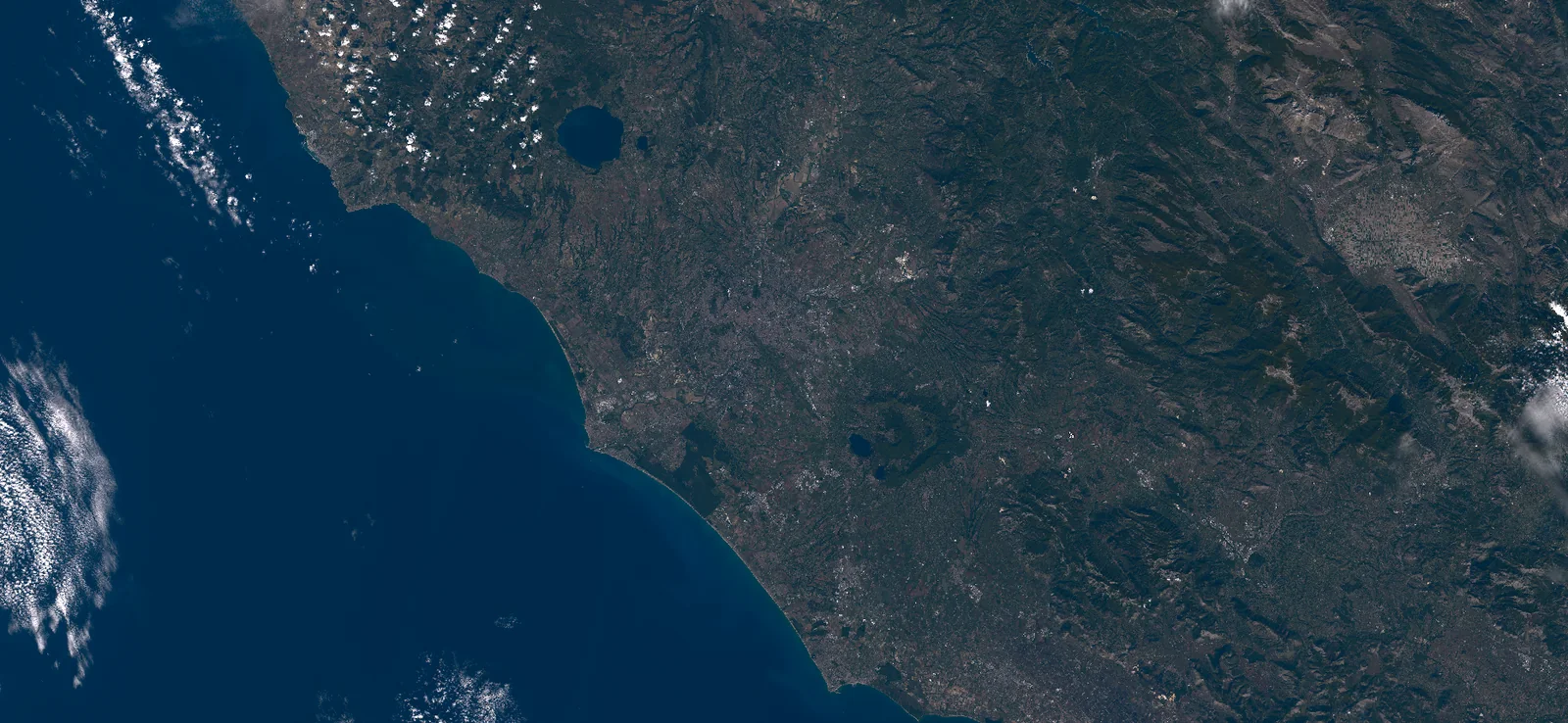
Earth data should be useful to people, from finding the right observation to deciding what to do next. Start with a satellite data request, then use AI-assisted GIS analysis or a custom app when your work calls for more.
Get the data you need. Choose what comes next.
Start with what matters
Your places and data
Satellite observations and the information you already use
Site boundariesImageryField records
Acquire your data
Specify, order and receive suitable observations.
Acquire
Run your analysis
Compare sites, measure changes, prepare reports.
Analyze
Build your app
Create and customize tools your team can use.
Reuse
Choose the outcome that completes your task.
From Earth data to useful tools
How the work comes together
From your request to the data you need.
Bring a data specification, a site review, a client report or a tool your team needs. Acquisition comes first when you need observations; analysis and app creation let you take them further.
Choose an area anywhere on Earth and describe the dates, spatial resolution, spectral bands or sensor you need. You can request data on its own, or start with a question, analysis or app.
Your location and requirements
02
Order suitable data and receive it.
Compare available archive observations or explore a future capture request. Review coverage, price, rights and delivery terms before ordering. Receiving the agreed data can complete your task; further analysis is optional.
A complete outcome in its own right
03
Continue into analysis when useful.
If your task needs analysis, ask the assistant to compare sites, calculate measurements or investigate a pattern. Review the map, chart, table or report, with the method and its limits available to inspect.
From a question to a usable result
04
Make recurring work easier.
Save the analysis or build an app around it. Give colleagues the maps, filters, and actions they need, then customize the tool as their work changes.
A site comparison should help you choose where to inspect. A report should help a client understand what changed. The evidence needs to be clear enough for that next decision.
01
See what the result is based on
Check the source, observation date, and coverage alongside the map or measurement.
02
Know what needs a closer look
Understand where clouds, limited detail, or missing observations leave gaps that need other data or a field visit.
03
Give others the context they need
Keep the relevant sources and methods with the result so colleagues and clients can review the work.
Keep control of your work
Clear choices. Useful flexibility.
Getting help should leave you able to steer the result. These principles guide data access, analysis and app creation.
01 / Cost
Choose data with the cost in view.
Start with suitable open or customer-owned data. Review the expected benefit and full cost before buying imagery or starting paid processing.
02 / Sharing
Plan for the people using the result.
Know whether you can include the source in a client report, publish an image, or share an app before building your workflow around it.
03 / Access
Use the controls that work for you.
Maps, tables, plain-language requests, and keyboard controls should make the same task accessible in different ways.
04 / Customization
Adapt the tool as your work changes.
Ask for a new filter, a different view, or a revised analysis. Keep earlier results available so changes to the tool preserve the work you need.
Before you get started
Using Milkypad for your work.
Do I need GIS or programming experience?+
The Milkypad workflow starts with describing the work in ordinary language, getting help with data and analysis, and shaping an app without writing its code yourself. You bring knowledge of your task. Methods, assumptions, and results still need appropriate review, especially for specialist or consequential decisions.
What is the difference between the assistant and Studio?+
Ask the AI assistant for an answer, a custom analysis, or help building and changing an app. Use Studio to work with that app through maps, charts, tables, and controls. Both use your project data, so your team can continue using a saved app without keeping a conversation open.
Can I order data without running an analysis or building an app?+
Yes. Data acquisition is a standalone request. Specify a location and data requirements, then discuss suitable options, ordering and delivery for your existing workflow. Analysis and app creation are available directions when you need them, not a requirement for a data request.
Can I use my own data?+
Combining your data with satellite observations is central to Milkypad. Site boundaries, field records, asset lists, and measurements help connect an analysis to your work. Supported sources and formats will be confirmed as the first workflows are built and validated.
Can I request any location and data specification?+
You can specify an area anywhere on Earth, historical or future dates, spatial resolution and required bands or sensor type. Archive observations and future collection feasibility need to be checked against that request. Matching data may not exist for every location, date or specification; suitable alternatives and delivery terms need to be clear before an order.
What can I try today?+
Try the interactive product examples and practical guides, or share your task through the early-access form. The examples use prepared content. Submitting the form sends an enquiry; it does not place a data order, create an account or run a live analysis. We will confirm access and supported workflows when we review your request.
Start with your GIS task
What data or GIS work do you need?
Tell us what you want to order, analyze or build. A location and data specification are enough to start a data acquisition discussion.
With your permission, Google Analytics helps us understand page visits and count successful enquiries. We don’t send your form answers or use analytics for personalized advertising.