Get the data you need.
Specify any location on Earth, the dates, dimensions, and quality you need. Compare suitable sources, ordering, and delivery options.
Solutions by industry
Your field, site, project, or research question shapes the solution. Explore the data to acquire, analyses to run, and custom apps to build for the work you do, without needing GIS or software engineering skills.
14 ways to put Earth data to work. Explore industry workflows and illustrative app ideas, then discuss your own requirements with our team.
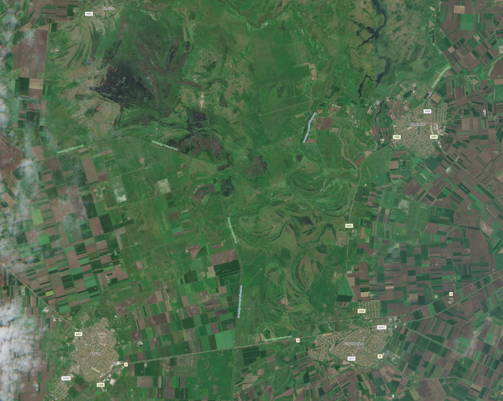 Land & natureFrom a field…
 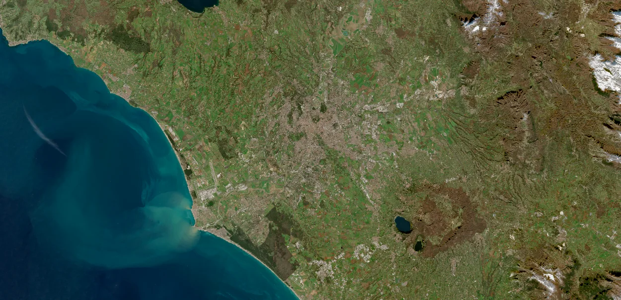 Water & climate…to a coastline…
 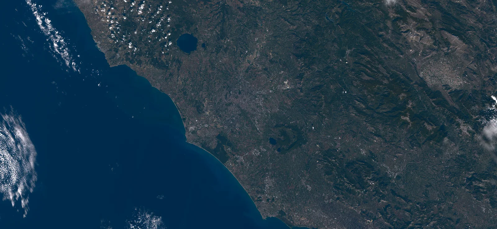 Places & operations…to a whole city.
 Real Sentinel-2 imagery, shown for context. The industry diagrams below are prepared illustrations. Image credits ↗
Specify any location on Earth, the dates, dimensions, and quality you need. Compare suitable sources, ordering, and delivery options.
Combine observations with your own records. Use AI assistance to compare, measure, and prepare outputs you can review and share.
Turn recurring work into a custom map, dashboard, or app. Describe changes in ordinary language and reuse the workflow.
Each is a useful outcome on its own. You can acquire data without running an analysis or building an app.
Find your industry or discipline
Each page covers the work, acquisition requirements, an analysis workflow, and an app your team could customize.
14 solutions
Acquire observations for your fields, compare seasonal patterns, and give advisers a tool for planning the next visit.
Order observations for forest holdings, review canopy changes and connect inspection priorities to management records.
Acquire a consistent site history, connect observations to intervention records and prepare monitoring reviews your field team can use.
Acquire event and recovery observations, review affected areas and organize post-fire inspections with sources and dates attached.
Acquire observations for lakes and reservoirs, compare surface changes and connect sampling plans to your existing water records.
Acquire event observations, review potentially exposed assets and organize post-flood inspections.
Acquire atmospheric observations, investigate regional patterns, and organize evidence for environmental review.
Acquire coastal and marine observations, compare events, and connect satellite evidence with your surveys and operational records.
Source urban observations, compare neighborhoods and build tools for planning studies and public discussion.
Acquire corridor and asset data, review surface or ground-motion patterns and organize targeted inspections.
Acquire spectral and terrain data, investigate exposed materials and prepare a reviewable sampling plan.
Acquire site observations, compare visible changes and create a repeatable portfolio review or reporting app.
Acquire project imagery, run site analyses, and turn repeat client work into reports or reusable review apps.
Acquire study data, combine measurements, explore custom methods, and build tools that make research easier to reuse.
Try another task or clear the filters to see every solution.
Work across industries
Compare changes for a client report or monitor a group of sites over time. These workflows show how data acquisition, analysis, and an app fit together across different sectors.
Start with your requirements
Tell us your industry, the location and data you need, and the result or tool you want to create. We’ll start with the work you need to do.
Discuss your workflow