For land & portfolio teams
Know which sites
need your attention.
Bring satellite observations, site history and field notes into a monitoring app your team can use each round. Explore how AI-assisted GIS can help compare sites and plan visits without preparing every map by hand or writing code.
Turn observations into a visit plan
Review all your sites.
Focus the field work.
Compare patterns across the places you manage, inspect the reason a site needs attention and check its latest field notes. Use that information to prepare a shortlist for your next monitoring round.
Suitable observations across sites
Changes that need closer review
Field visits and local checks
The same tool for the next round
Try a sample monitoring app
Go from the site list
to the next action.
Select a parcel and switch between its map, table and observation count. The fictional records show how a team could review a flagged site, a completed check or a gap that needs follow-up.
A land team organising its next monitoring round
Where should the next visit begin?
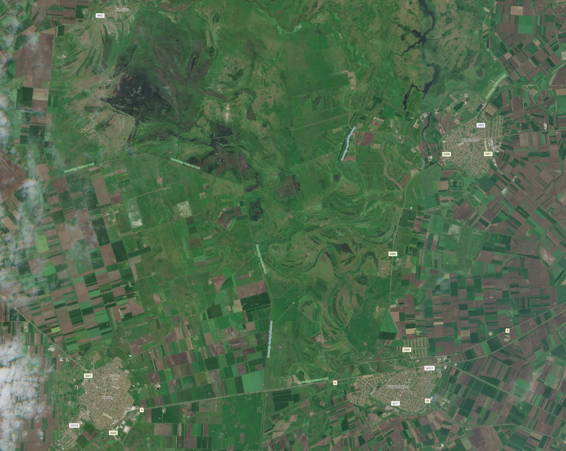
Schematic sites · background imagery is contextual
Usable observations in the sample period
Missing observations remain visible. A count of zero is not evidence of no change.
Count of synthetic usable observations · 0–5
| Site | Usable observations | Inspection status |
|---|---|---|
| 3 | Review suggested | |
| 5 | Review complete | |
| 0 | Insufficient data |
These names, review states and counts are invented to demonstrate the experience. This preview does not run an analysis or report conditions at the places in the photographs. Background: Grasslands and crop fields near Püspökladány, Hungary. Image credits.
Work with the places
your team already knows.
Connect your field boundaries, asset IDs and intervention dates with suitable satellite data. Keep the local information that helps your team interpret a change close to the map.
Shape the review
around your field work.
Set up the comparisons, date filters and review criteria relevant to your sites. See why a location is flagged and where another observation or a visit is needed before you act.
Start the next round
with a tool already in place.
Return to the same site list, maps and history for the next review. Add new field feedback and request an updated analysis when suitable observations become available.
Customise without building software yourself
A monitoring app
that fits how you work.
Ask the assistant for the site filters, charts and review views your team needs. Then colleagues can use the app directly in Studio to select sites, inspect results and prepare their work.
When your routine changes, describe what needs to change in the app. Add a new comparison or revise a view while keeping the site history you already rely on.
Explore App BuilderMake recurring work easier to use
What does your next monitoring round involve?
Tell us about your sites, your review frequency and the information your field team needs before a visit.
Share your monitoring workflow