Buying guides, prices and how-tos for satellite imagery, drone and LiDAR data, plus practical GIS workflows and analysis tips. New articles every Monday.
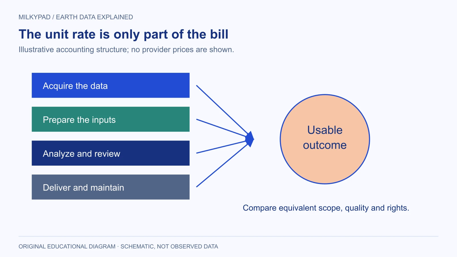
Published satellite imagery prices per km² for 30 cm to 2 m sensors, checked on 22 October 2026, plus the minimum orders, new-capture premiums and license terms that decide what a small project really pays.
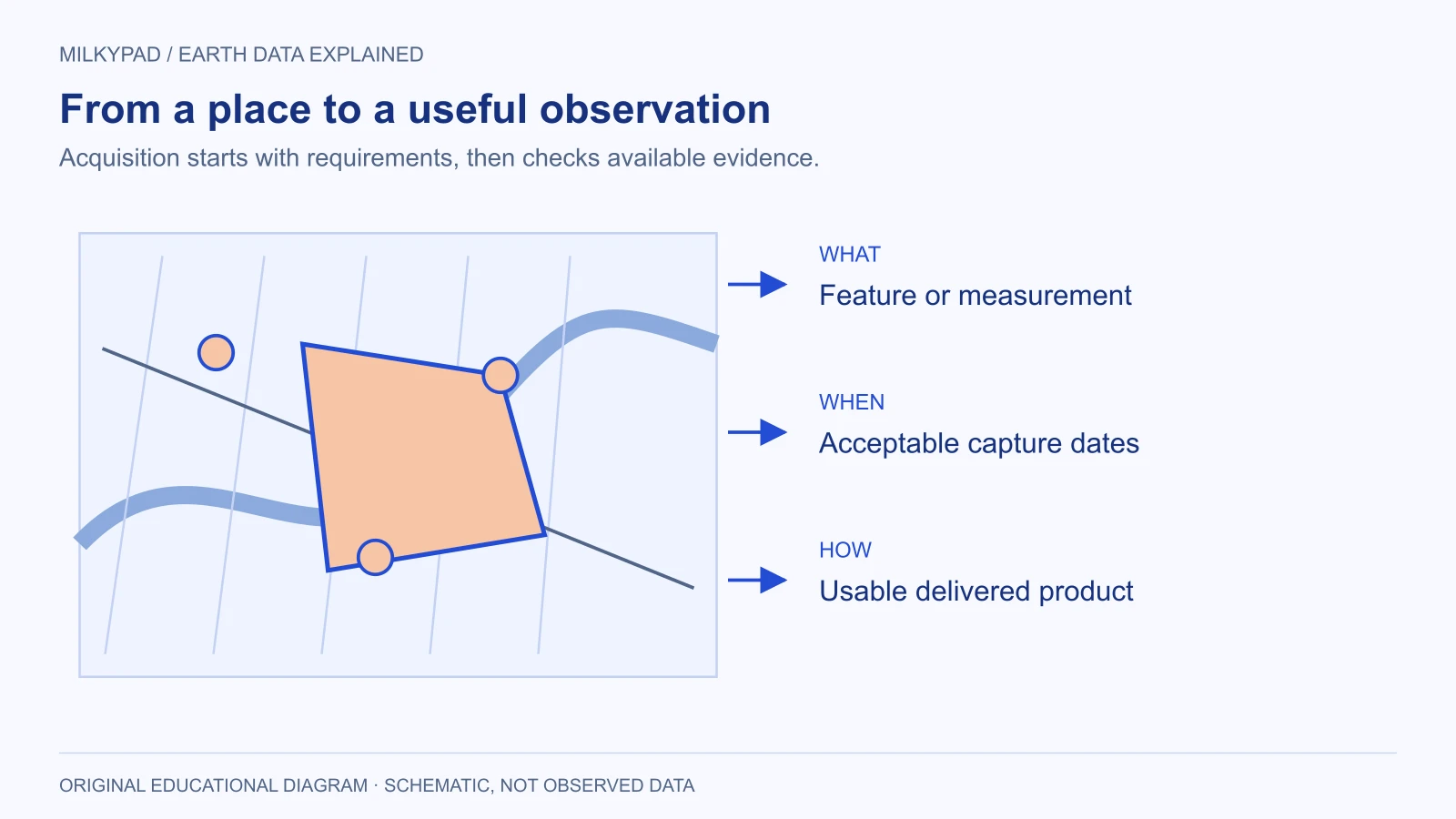
Start with the decision you need to make, then choose coverage, dates, resolution and usage rights. This guide turns a location into a useful satellite data request.
With your permission, Google Analytics helps us understand page visits and count successful enquiries. We don’t send your form answers or use analytics for personalized advertising. Our own cookieless visitor statistics don’t use this choice; you can switch them off in the privacy notice.